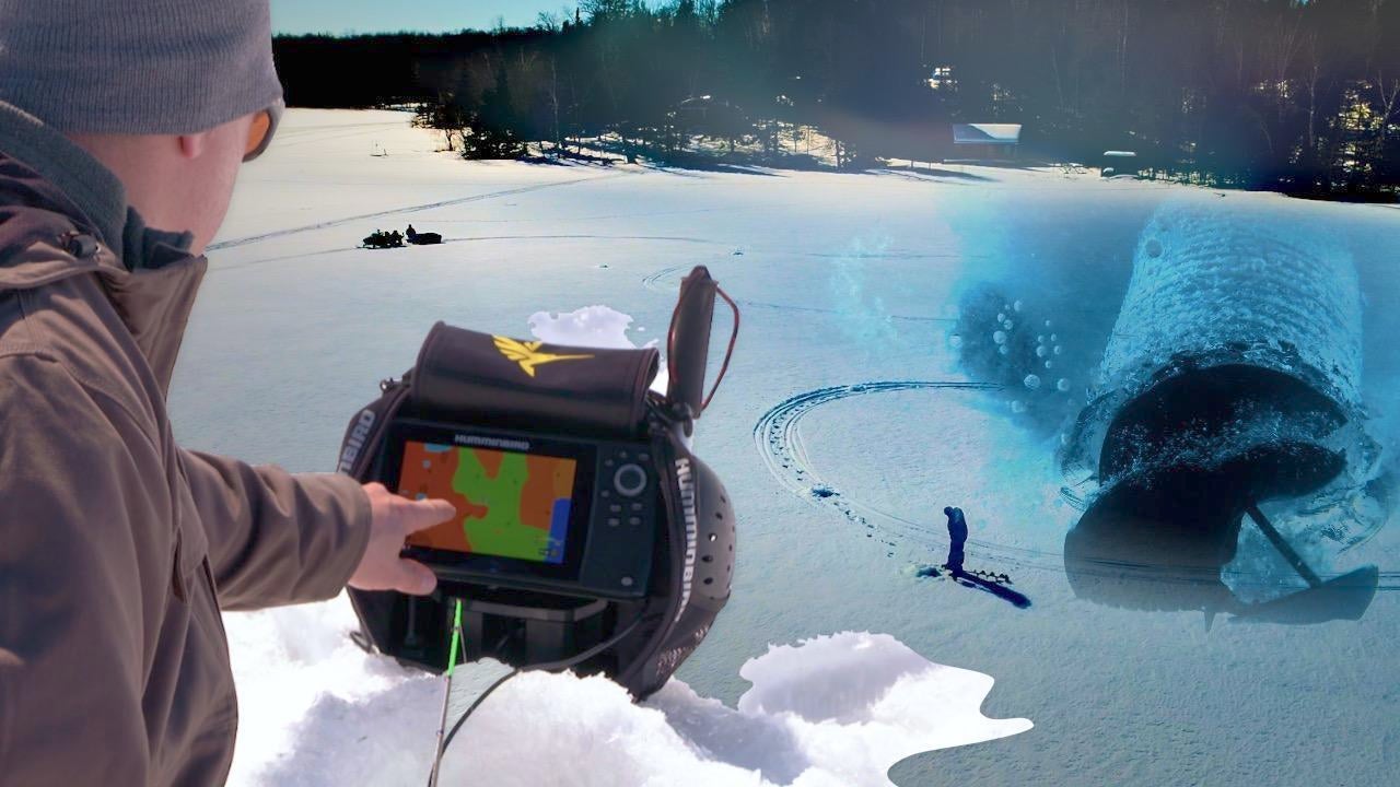
Finding productive fishing spots is one of the biggest challenges in ice fishing. Your ability to cover water and find fish is reduced to a hole in the ice and vertical jigging. Accurate mapping has become a must-have tool for today’s savvy ice angler, as it allows you to make smart location decisions before drilling a hole with an auger.
Wired2Fish’s Ryan DeChaine explains how he uses custom mapping created during the open water period on the ice to map out and strategically drill holes. Detailed contours lines coupled with bottom hardness and vegetation overlay data add valuable information to the base map.
Ryan walks through his thought process of interpreting the custom map data, then how he marks a specific depth range to drill out. This method speeds the process of eliminating dead water so you can more quickly land on productive fishing spots.


