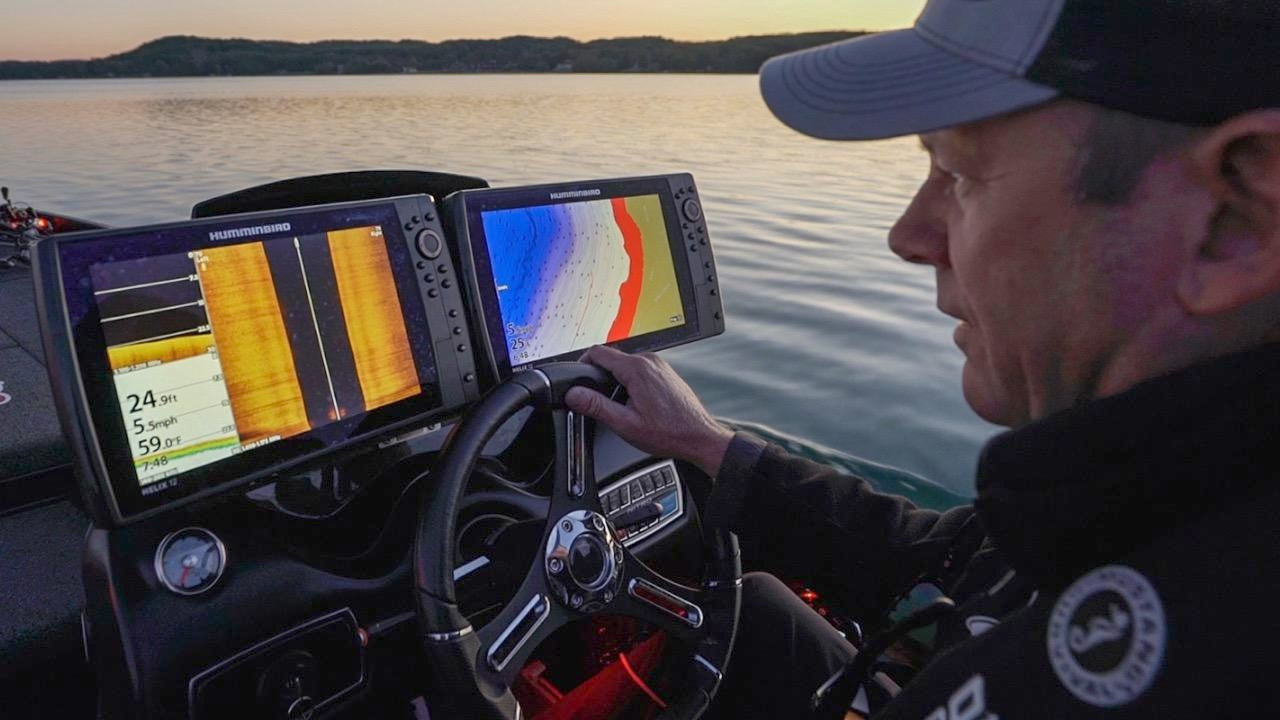
They say the devil is in the details, and sometimes so are the bass. Kevin VanDam makes a living finding sneaky spots other anglers overlook, and having detailed and accurate lake maps is key to the process. KVD explains how and why to pay close attention to the spacing in map contour lines; as he explains, bass often relate to structure independent of cover.
GEAR USED:
- Humminbird HELIX 12 CHIRP MEGA SI+ GPS G3N
- Humminbird 360 Imaging
- Humminbird LakeMaster Plus Digital Charts
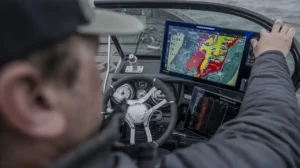
When you mark bass, note where they’re positioned on the map, be it steep contours, points, inside pockets, or even gently sloping contours. VanDam then adds context by referencing fish finder technologies such as MEGA 360 Imaging to locate bottom composition changes and cover such as wood, rock or weeds. Knowing how to identify areas of subtle change via the map coupled with sonar readouts will help you find less pressured fish.


